Catalog Archive
Auction 111, Lot 92

"Nouvelle Ecosse ou Partie Orientale du Canada", Le Rouge, George Louis
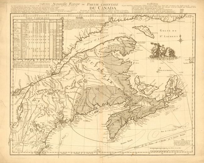
Subject: Canada

Period: 1755 (dated)

Publication: Atlas General contenant le Detail des Quatre Parties du Monde

Color: Black & White

Size:
23.4 x 18 inches
59.4 x 45.7 cm
Download High Resolution Image
(or just click on image to launch the Zoom viewer)

Fine copper engraved chart of the Canadian Maritimes that was based on Jeffery's famous map. It extends west to the area of Montreal on the St. Laurence, locating Quebec, Portsmouth, Brunswick, etc., and extends south to include Boston, nearly off the map. The map is embellished with a finely engraved vignette of Neptune and his sea chariot. At upper left is a remarkable Table Comparative comparing this map to ones by Popple, Durell, Bellin, d'Anville, Robert, Blackmore and John Mitchell. The table gives the latitude and longitude used by these cartographers for about 25 locations. In this state, an explanation to the table has been added in German. This is the second state issued in 1778, but still dated 1755.

References: Kershaw #742.

Condition: B

Dark, strong impression. Lightly toned along centerfold and a couple of spots. Some light marginal toning and short marginal tears, mostly at top.

Estimate: $1,200 - $1,600

Sold for: $900

Closed on 6/8/2005

Archived