Catalog Archive
Auction 111, Lot 763

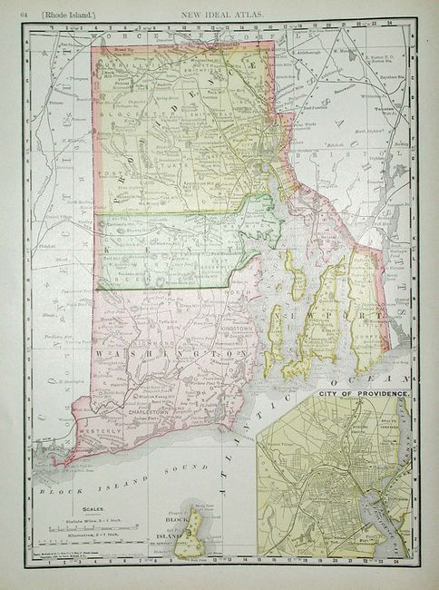
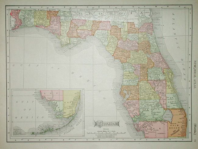
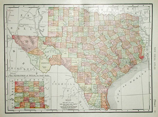
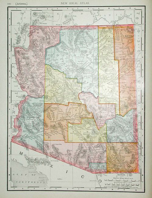
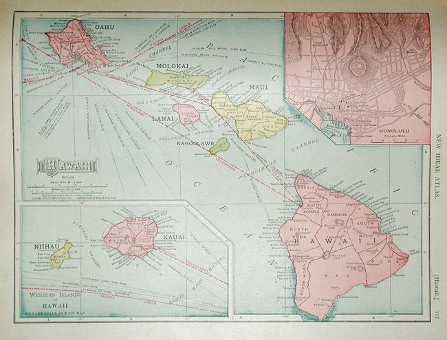
"The New Ideal State and County Survey and Atlas of New Jersey and Pennsylvania. New Subscription Edition", Rand McNally & Co.

Subject: Atlases

Period: 1913 (dated)

Publication:

Color: Printed Color

Size:
11.5 x 14.5 inches
29.2 x 36.8 cm
Download High Resolution Image
(or just click on image to launch the Zoom viewer)

Complete atlas with 67 single-page maps, 3 thematic plates, and 4 large, folding maps. The folding maps are: "The Rand-McNally New Commercial Atlas Map of Pennsylvania" (37" x 25.5") legend names and keys to the map with 106 railroads; "…New Jersey" (18.5" x 25.8) lists 26 railroads and numerous ship routes in the Atlantic and Delaware Bay; "…Europe" (25.8" x 19") titled above "War Map of Europe," with the extensive railroad network shown in red over-printing; "Rand McNally & Co.'s New Travel Chart and Distance Table of the World" (37" x 13") filled with ocean routes with mileage, plus extensive lists of all countries of the world with area, populations and colonial authority, if any. 154 pp. - contents: title page, Index to Maps, description of New Jersey, NJ town index, PA town index, statistical tables, description of Pennsylvania, 3 thematic plates (the Universe, the Solar System and the Earth), maps and plates, index. Appears to be a scarce atlas with no record in LeGear or Rumsey's collection. Hardbound in red cloth.

References:

Condition: A

All maps in fine condition. Contents tight less front hinge starting. Covers a little bumped at corners, some soiling on front cover and spine sunned.

Estimate: $100 - $150

Sold for: $110

Closed on 6/8/2005

Archived