Catalog Archive
Auction 111, Lot 762

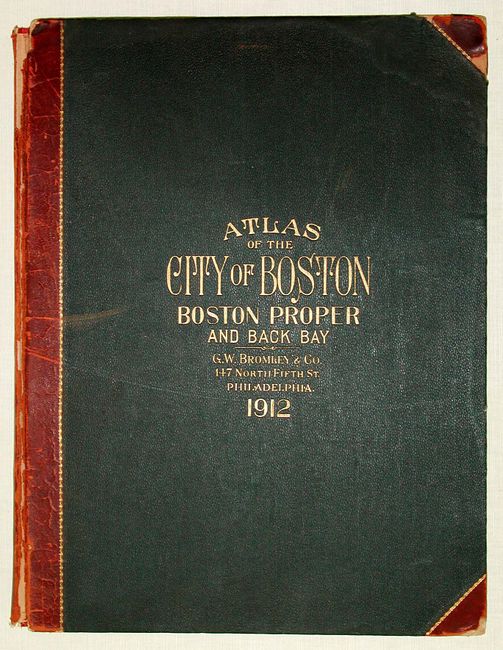
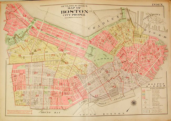
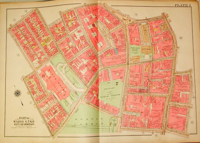
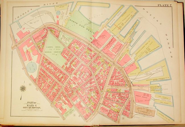
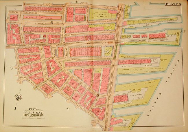
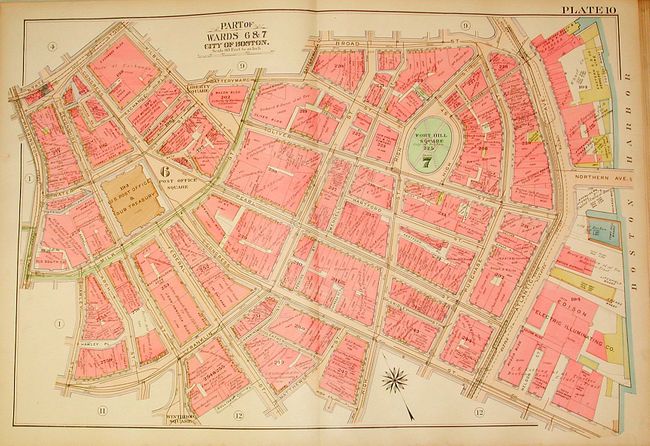
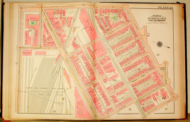
"Atlas of the City of Boston", Bromley, George W & Walter S.

Subject: Atlases - Boston

Period: 1912 (dated)

Publication:

Color: Hand Color

Size:
17.5 x 22.5 inches
44.5 x 57.2 cm
Download High Resolution Image
(or just click on image to launch the Zoom viewer)

This is a fabulous large format, commercial atlas of Boston showing the city with incredible detail on 34 (of 36) double-page maps. Includes a really fine index map of the whole city. Each map is a fine lithograph, with original full wash hand coloring. They are a graphic depiction of the city with each building, including the company name or property owner's name, colored to indicate the type of construction. The streets are shown with the location of fire hydrants, water mains, sewers and rail and subway lines. Real estate, title, and insurance companies used these commercial atlases. They were usually discarded when they became outdated and are quite scarce outside of public institutions. Original quarter calf over pebbled cloth covers with embossed title and spine.

References:

Condition: B

Several plates are loose but undamaged. Missing plates 22 & 35 with plate 34 missing one quadrant. All other maps near fine. Binding with worn corners and splits on spine.

Estimate: $800 - $1,000

Sold for: $850

Closed on 6/8/2005

Archived