Catalog Archive
Auction 111, Lot 645
"Carte Reduite de l'Ocean Oriental Septentrional, qui Contient une partie des Cotes d'Afrique, de l'Arabie, de la Perse, et celles de l'Indostan, avec les Isles de Ceylon, Maldives et Laquedives", Apres de Mannevillette, Jean B. N. D.
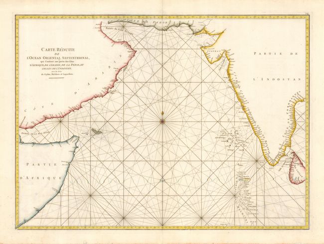
Subject: Indian Ocean
Period: 1775 (published)
Publication: Le Neptune Oriental
Color: Hand Color
Size:
26 x 18.8 inches
66 x 47.8 cm
Download High Resolution Image
(or just click on image to launch the Zoom viewer)
(or just click on image to launch the Zoom viewer)