Catalog Archive
Auction 111, Lot 565
"Byzondere Kaart van de Landen daar de Apostelen het Evangelium Gepredikt…", Mortier, Pierre
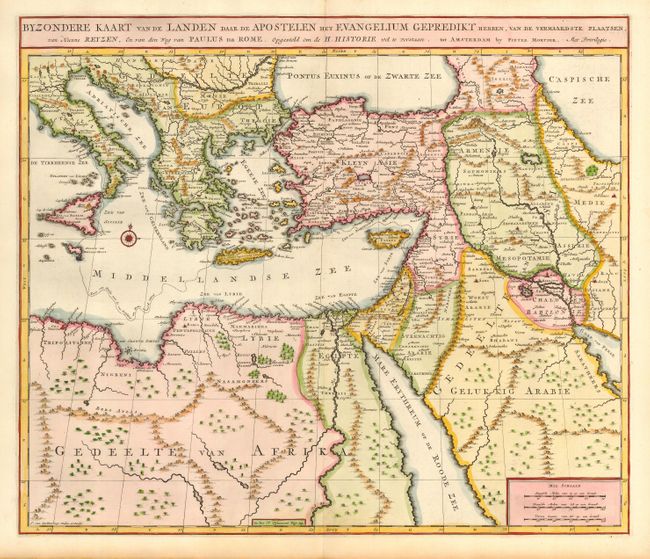
Subject: Eastern Mediterranean and Middle East
Period: 1700 (published)
Publication:
Color: Hand Color
Size:
18.5 x 15.6 inches
47 x 39.6 cm
Download High Resolution Image
(or just click on image to launch the Zoom viewer)
(or just click on image to launch the Zoom viewer)