Catalog Archive
Auction 111, Lot 544
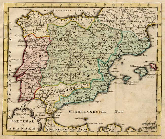
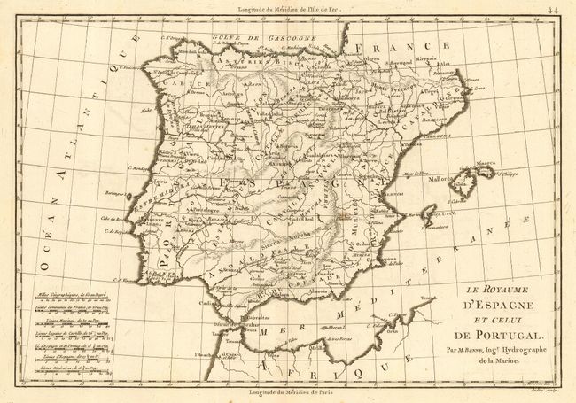
"[Lot of 2] Nieuwe Kaart van Portugal en Spanjen [and] Le Royaume d'Espagne et celui de Portugal",
1 of 2
Subject: Spain & Portugal
Period: 1742-80 (circa)
Publication:
Color:
Size:
See Description
Download High Resolution Image
(or just click on image to launch the Zoom viewer)
(or just click on image to launch the Zoom viewer)