Catalog Archive
Auction 111, Lot 435
"Map of the Germanic Confederated States, including the Kingdom of Prussia as Settled by the Act of Congress at Vienna June 9th, 1815", Wyld, James
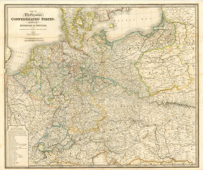
Subject: Central Europe
Period: 1838 (dated)
Publication: New General Atlas
Color: Hand Color
Size:
29.7 x 25 inches
75.4 x 63.5 cm
Download High Resolution Image
(or just click on image to launch the Zoom viewer)
(or just click on image to launch the Zoom viewer)