Catalog Archive
Auction 111, Lot 348

"Gronland Med Omgivelser", Anon.
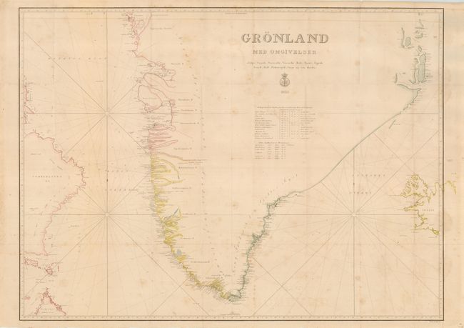
Subject: Greenland

Period: 1832 (dated)

Publication:

Color: Hand Color

Size:
35 x 25 inches
88.9 x 63.5 cm
Download High Resolution Image
(or just click on image to launch the Zoom viewer)

A remarkably detailed chart of the southern tip of Greenland, the world's largest island. Its eastern shore was discovered by William Scoresby in 1822 but until late in the 19th century little was known of the interior of this formidable and inhospitable land. An extensive list of early Arctic explorers is given. The outlines of western Iceland, Labrador and Buffin Land (here called Cumberland OE) are indicated. Engraved by Sechusen. A scarce issue on which we find no past sales information or references.

References:

Condition: B

Folding as issued with original margins. Occasional slight offsetting and foxing.

Estimate: $200 - $300

Sold for: $150

Closed on 6/8/2005

Archived