Catalog Archive
Auction 111, Lot 334

"Carte Reduite de l'Ocean-Occidental Comprenant les Costes d'Europe et d'Afrique…", Depot de la Marine

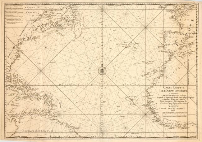
Subject: North Atlantic Ocean

Period: 1738 (dated)

Publication:

Color: Black & White

Size:
29 x 21 inches
73.7 x 53.3 cm
Download High Resolution Image
(or just click on image to launch the Zoom viewer)

Handsome, large sea chart of the Atlantic Ocean, north of the equator. A good portion of each of the continents is shown with major port cities named. The coast of North America is labeled with the colonies and Florida is shown as a mass of islands. The chart is centered on a large compass rose with radiating rhumb lines. This is the scarce first edition, engraved by Dheulland, produced for Le Comte de Maurepas, the Ministre de la Marine.

References:

Condition: B

Printed on heavy watermarked paper. Couple of short tears at bottom repaired with tissue on verso. Slight toning at sides.

Estimate: $550 - $650

Sold for: $325

Closed on 6/8/2005

Archived