Catalog Archive
Auction 111, Lot 328

"Le Bresil, dont les Cotes sont Divisees in Capitaineries…", Fer, Nicolas de
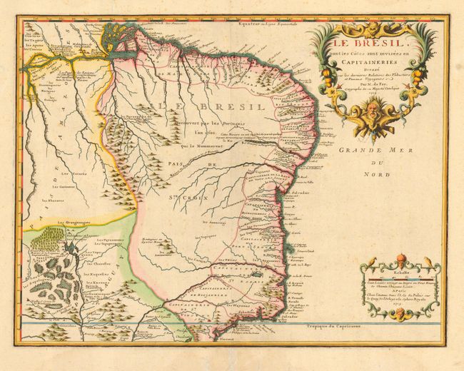
Subject: Brazil

Period: 1719 (dated)

Publication:

Color: Hand Color

Size:
21.2 x 16.5 inches
53.8 x 41.9 cm
Download High Resolution Image
(or just click on image to launch the Zoom viewer)

Large, handsome map showing the Portuguese possessions in Brazil. The coastal regions were divided by the Portuguese Crown into fourteen Capitaineries or hereditary harbor offices. The holders of these grants, called donees (donatários), were responsible for their defense and development. Another interesting feature of this map is the cluster of swamps near the headwaters of the Paraguay River and several notations in the interior. The map is embellished with a title and scale cartouches.

References:

Condition: B

A few repaired tears in blank margins and a bit of very light foxing, else very good.

Estimate: $475 - $550

Sold for: $375

Closed on 6/8/2005

Archived