Catalog Archive


Auction 111, Lot 244
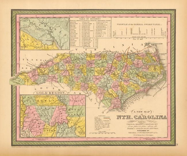
"A New Map of Nth. Carolina with its Canals, Roads & Distances from place to place, along the Stage & Steam Boat Routes", Thomas, Cowperthwait & Co.

Subject: North Carolina
Period: 1850 (dated)
Publication: Mitchell's New Universal Atlas
Color: Hand Color
Size:
14 x 11.5 inches
35.6 x 29.2 cm
Download High Resolution Image
(or just click on image to launch the Zoom viewer)
(or just click on image to launch the Zoom viewer)