Catalog Archive
Auction 111, Lot 184

"Plan de l'Entree du Port de Bucarelli sur la Cote du Nord-Ouest de l'Amerique, par 55°15' de Latitude Nord et 136°15' de Longitude a l'Ouest de Paris. Decouverte en 1775…", La Perouse, Comte Jean F. Galoup, de
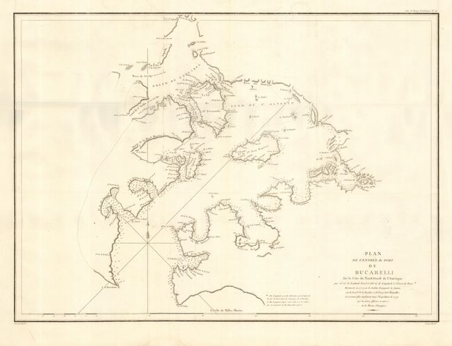
Subject: Alaska

Period: 1797 (circa)

Publication: Voyage autour du Monde…Atlas

Color: Black & White

Size:
27 x 19.5 inches
68.6 x 49.5 cm
Download High Resolution Image
(or just click on image to launch the Zoom viewer)

This large-scale chart covers a portions of today's Prince of Wales, San Fernando, Lulu, Noyes, Baker, and Suemez islands in the Prince of Wales - Outer Ketchikan area. Excellent detail along coastlines plus scores of soundings in bays and harbors. Simple compass rose with arrow indicating north.

References:

Condition: A

Nice impression on thick hand laid paper with two large watermarks - one is a stone tower. Folding, as issued. Trace of easily erased offsetting and two insignificant spots, still very good.

Estimate: $150 - $200

Sold for: $110

Closed on 6/8/2005

Archived