Catalog Archive
Auction 111, Lot 141

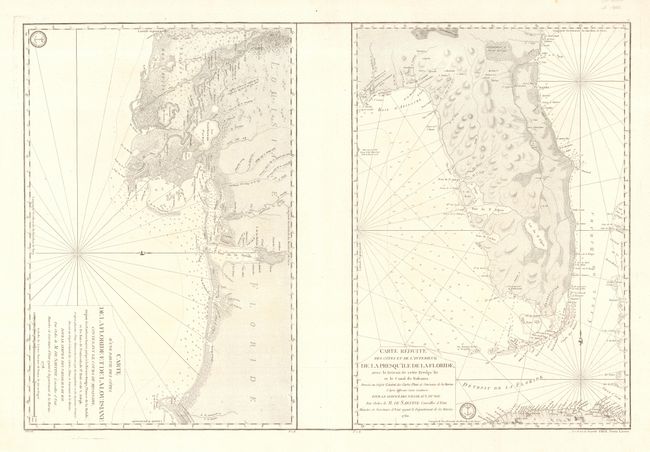
"Carte d'une Partie des Cotes de la Floride et de la Louisiane… [on sheet with] Carte Reduite des Cotes et de l'Interieur de la Presqu'ile de la Floride, avec le Detroit de Cette Presqu'ile et le Canal de Bahama", Sartine

Subject: Colonial South

Period: 1778-80 (dated)

Publication:

Color: Black & White

Size:
34.2 x 23 inches
86.9 x 58.4 cm
Download High Resolution Image
(or just click on image to launch the Zoom viewer)

Two important Revolutionary War period sea charts issued by the Depot de la Marine on an elephant folio sheet. These maps were prepared by the French Navy under Antoine Sartine, Minister of Marine, upon their entry in to the war on the American side. First is an elegant rendering of part of the Gulf Coast covering the region between St. Joseph Bay and Vermilion Bay. Numerous rivers, bays, islands and lakes are identified, as are the towns/forts of Pensacola, Mobile, Biloxi and New Orleans. Second map covers the Florida Peninsula from St. Marys River to St. Joseph Bay. It extends to include the Bahama Channel, the Bahamas, the Florida Keys and the northern coast of Cuba. Rhumb lines and coastal soundings further graphically enhance these attractive charts. Each chart has its own borders and they could be separated for framing as they are oriented opposite of one another on the sheet. They are generally not sold together.

References: Sellers & Van Ee #1611 & 1621.

Condition: A+

Estimate: $3,000 - $4,000

Sold for: $2,200

Closed on 6/8/2005

Archived