Catalog Archive
Auction 110, Lot 89

"North America", Gray, Ormando Willis & Son
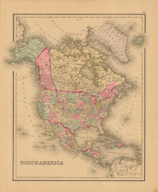
Subject: North America

Period: 1875 (circa)

Publication: The National Atlas

Color: Hand Color

Size:
11.8 x 14.8 inches
30 x 37.6 cm
Download High Resolution Image
(or just click on image to launch the Zoom viewer)

Colorful stone engraved map of the continent showing national boundaries as well as individual states, territories and provinces. Alaska is noted as a territory. British Columbia is a huge western territory that extends to Alaska. Oklahoma is Indian Territory and Dakota has yet to separate into north and south. Interestingly the geography of the map suggests a circa 1875 date, but the map still carries the copyright of J.H. Colton and the date of 1855.

References:

Condition: A

Crisp impression and fine coloring with wide, original margins. One spot in Pacific, else fine.

Estimate: $80 - $100

Sold for: $60

Closed on 3/2/2005

Archived