Catalog Archive
Auction 110, Lot 760
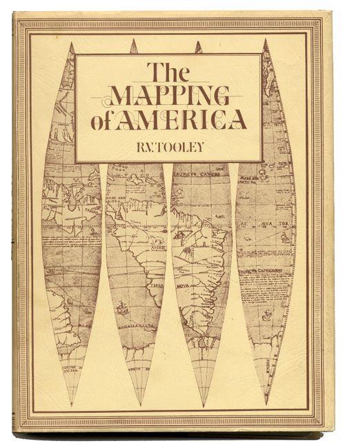
"The Mapping of America", Tooley, R. V.
Subject: Reference Books
Period: 1980 (published)
Publication: The Holland Press Limited
Color:
Size:
8 x 8 inches
20.3 x 20.3 cm
Download High Resolution Image
(or just click on image to launch the Zoom viewer)
(or just click on image to launch the Zoom viewer)