Catalog Archive
Auction 110, Lot 739

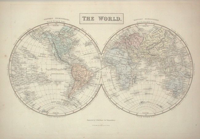
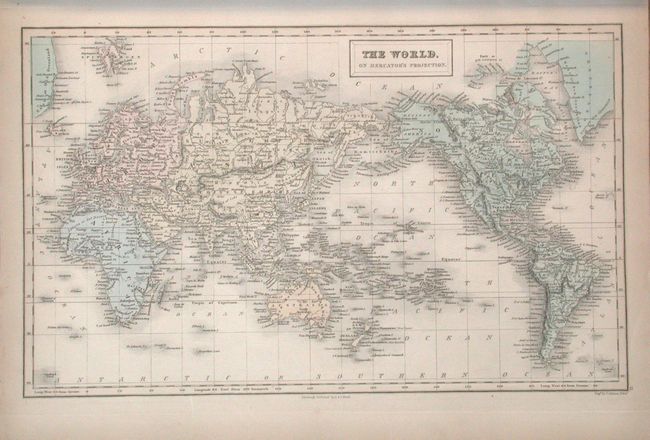
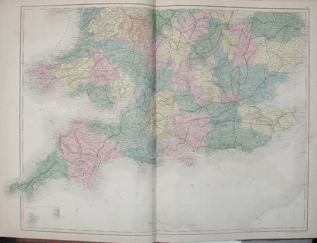
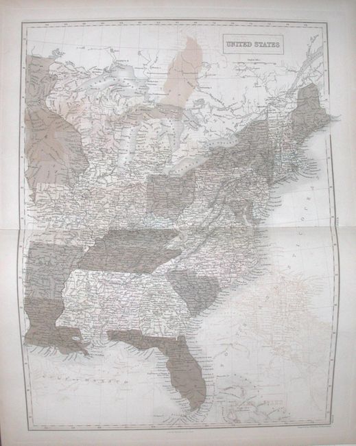
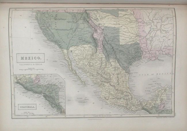
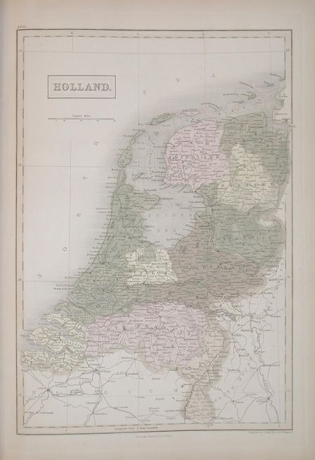
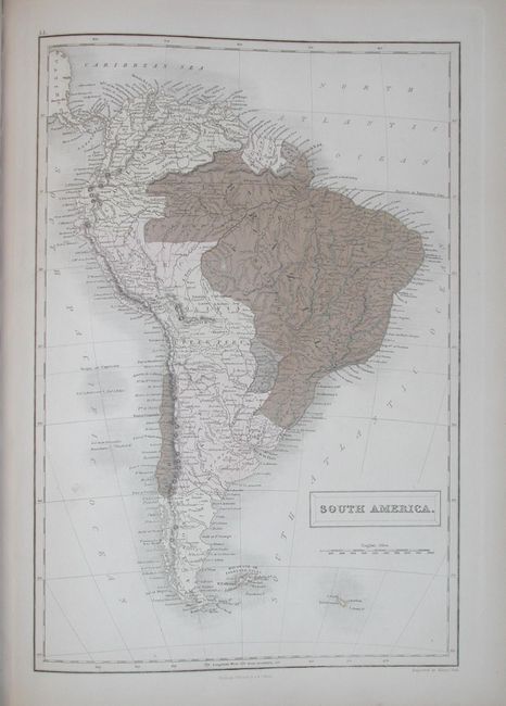
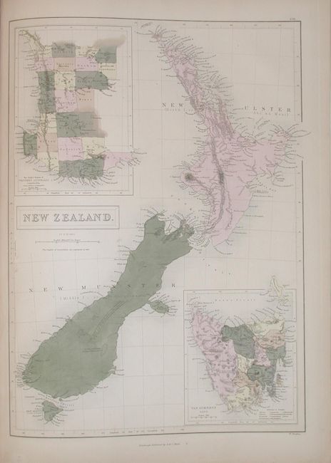
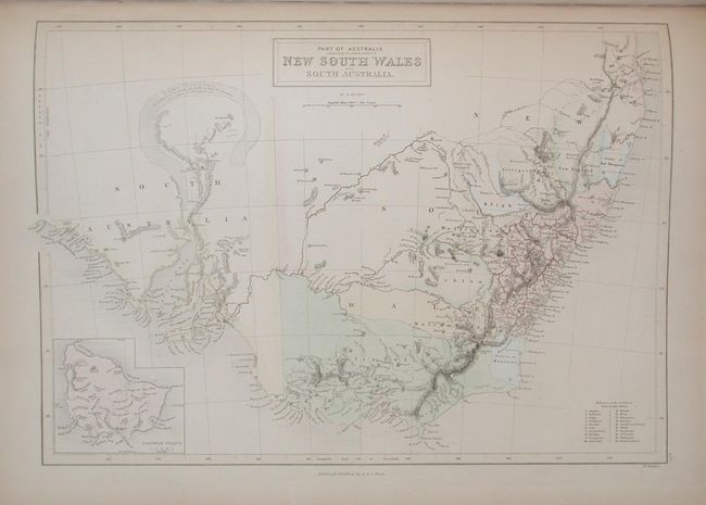
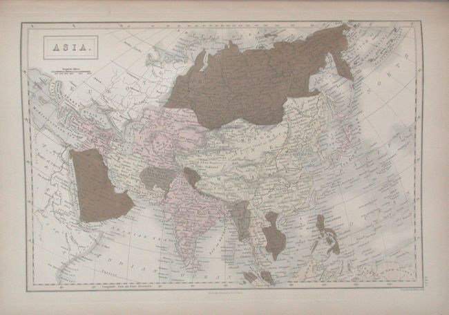
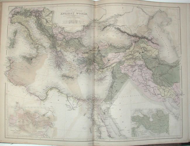
"Black's General Atlas; Comprehending Sixty-One Maps From the Latest and Most authentic Sources", Black, Adam & Charles

Subject: Atlases

Period: 1850 (dated)

Publication:

Color: Hand Color

Size:
13 x 18 inches
33 x 45.7 cm
Download High Resolution Image
(or just click on image to launch the Zoom viewer)

A complete world atlas with large steel engraved and hand colored maps. Contains approximately 55 maps, including 13 double-page and 5 world maps. With a fabulous map of Mexico that includes the Southwest with Texas is shown with either Independent or larger borders. Plus a great map of New Zealand and one of New South Wales. Other full-page plates include thematic engravings showing Mountains and Rivers and another showing Humbolt's Distribution of Plants. Many original tissue guards are still in place. Contains title page, list of maps, introduction & statistics (12 pp.), maps, index (58 pp.), folio. Hardbound in 19th century half roan with leather tips and titling in gilt.

References:

Condition: B

Occasional light offsetting or light staining on some maps, many with even toning and some oxidation to green color. Cover corners are rubbed and worn with a chip at bottom of spine. Contents complete and all signatures tight.

Estimate: $600 - $1,000

Sold for: $550

Closed on 3/2/2005

Archived