Catalog Archive
Auction 110, Lot 690

"Van Diemans Land", Arrowsmith, John

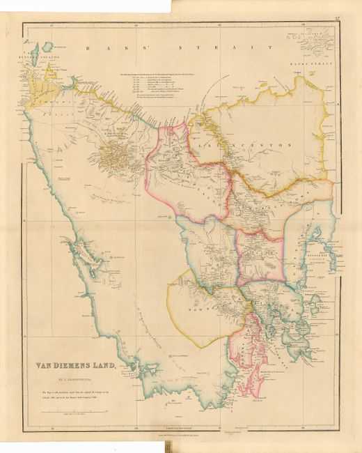
Subject: Australia, Tasmania

Period: 1842 (dated)

Publication: London Atlas

Color: Hand Color

Size:
18.2 x 23.7 inches
46.2 x 60.2 cm
Download High Resolution Image
(or just click on image to launch the Zoom viewer)

A very nicely engraved chart with fine detail and lovely coloring. The western portion of the island is mostly unexplored and unsettled, noting only scattered details including a High Range of White topped Mountains. Nine political regions are named and hand colored in the eastern portion, including Hobart Town, New Norfolk, Richmond, Oatlands, Clyde, Campbell Town, Norfolk Plains, Launceston, and Oyster Bay. In the upper left is an area labeled Part of the V.D.I. Cos. Grant. Extends to show Maria and Hunter's islands.

References: MCC #60, R.V. Tooley map 119

Condition: A

Fine impression and original coloring. Original margins with paper label at tabbed notch still attached.

Estimate: $350 - $450

Sold for: $350

Closed on 3/2/2005

Archived