Catalog Archive
Auction 110, Lot 682

"The Maritime Portion of South Australia from Captn. Flinders & from more recent Surveys made by the Survr. Genl. of the Colonies", Arrowsmith, John
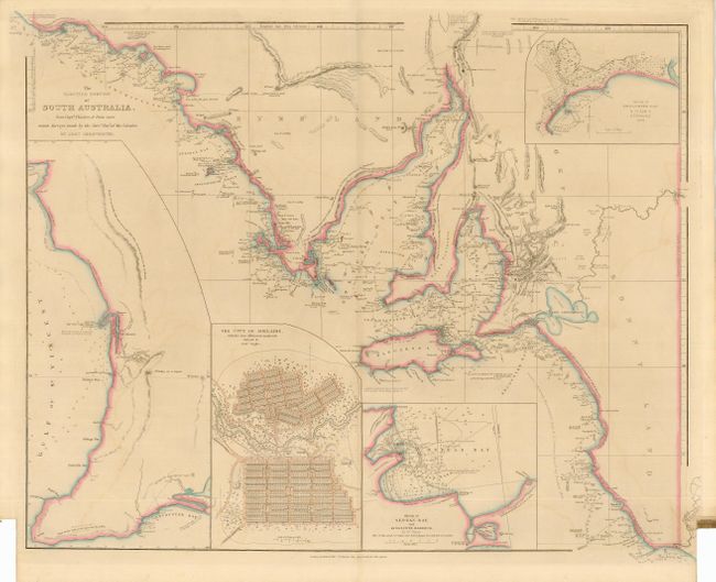
Subject: Australia

Period: 1840 (dated)

Publication: London Atlas

Color: Hand Color

Size:
24.2 x 19.5 inches
61.5 x 49.5 cm
Download High Resolution Image
(or just click on image to launch the Zoom viewer)

In Arrowsmith's fashion this is a remarkably detailed and finely engraved chart. Terrific detail along the coastline with some topographical information inland. Extensive soundings and current information mark the course of Flinders' HMS Investigator as it explored the coastline, islands and bays of the area in 1802 between January and April. The map extends between Fowler Bay in the northeast to Discovery Bay in the south at the boundary between South Australia and Victoria. Large inset details the vicinity of Adelaide and the Gulf of St. Vincent. Other insets include a fine city plan of Adelaide, surveyed by Col. Light and showing numbered acre allotments, Encounter Bay by Col. Light and B.T. Finniss, Esq, and another shows Nepean Bay and Kingscote Harbour by William Chesser. This edition revised from the February 1839 edition as ordered by the House of Commons. A rarely offered map.

References: MCC #60, R.V. Tooley map 111.

Condition: B

Fine impression and original outline coloring. Original margins with paper label at tabbed notch still attached. Light offsetting at sides and a couple other areas, hint of centerfold toning, else very good.

Estimate: $400 - $500

Sold for: $350

Closed on 3/2/2005

Archived