Catalog Archive
Auction 110, Lot 596

"Chinae, olim Sinarum regionis, nova descriptio. Auctore Ludouico Georgio", Ortelius, Abraham
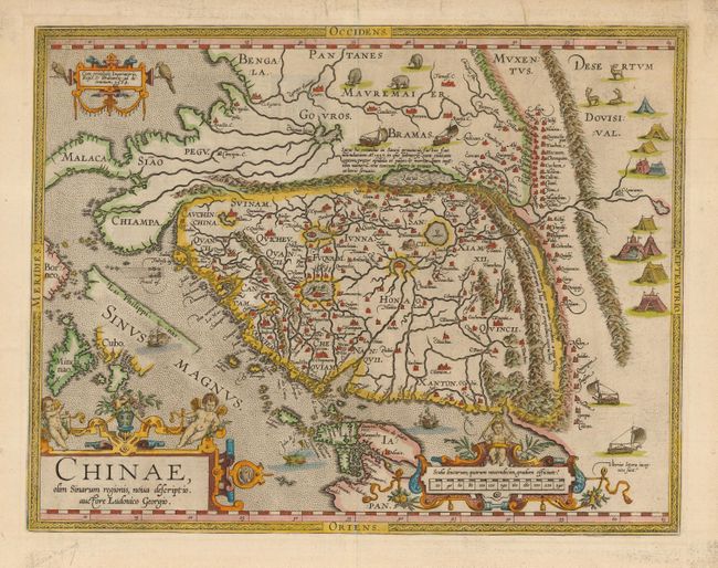
Subject: China

Period: 1584 (dated)

Publication: Theatrum Orbis Terrarum

Color: Hand Color

Size:
18.7 x 14.5 inches
47.5 x 36.8 cm
Download High Resolution Image
(or just click on image to launch the Zoom viewer)

This landmark map is the first European printed map of China and provides a fascinating view of the mysterious orient from a Renaissance perspective. Ortelius based the map on the work of Jorge de Barbuda, a Portuguese Jesuit also known as Ludovicus Georgius, whose manuscript map reached Ortelius by way of Arias Montanus. The depiction, which became the standard image of China for over half a century, shows the legendary kingdom at an early point in European exploration of the region. The map is oriented with north to the right and extends into parts of Indo-China, the Philippines and part of Japan. The Great Wall is prominently delineated and several huge lakes and rivers dominate the geography. Illustrations in the interior include tent cites of the Tartars, stags, elephants and elaborate sail-powered carriages. The map is further adorned with three ornamental cartouches. Second state with las Philippinas added above Sinus Magnus, published in 1612. Latin text on verso.

References: Walter #11F; Van den Broecke #164.

Condition: A+

Overall fine with a couple of professional repairs in top margin, one just touching neatline.

Estimate: $4,000 - $5,000

Sold for: $10,500

Closed on 3/2/2005

Archived