Catalog Archive
Auction 110, Lot 561

"Carte de la Baie de Gibraltar Reduite du Plan leve en 1786", Depot de la Marine
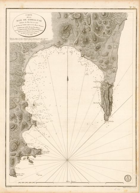
Subject: Gibraltar

Period: 1805 (circa)

Publication:

Color: Black & White

Size:
17.5 x 23.5 inches
44.5 x 59.7 cm
Download High Resolution Image
(or just click on image to launch the Zoom viewer)

This is a highly detailed chart of Gibraltar and the Spanish coast of the bay including Algerciras. It provides an excellent view of the fortifications and town layout of Gibraltar. This chart, engraved by Vico (Vicq), is reduced from the chart of 1786 from the Spanish hydrographer Vincent Tofino de San Miguel.

References:

Condition: B

Some foxing in margins, just entering border in a few places. Small abrasion near stamp of the Depot de la Marine, else very good.

Estimate: $220 - $275

Sold for: $150

Closed on 3/2/2005

Archived