Catalog Archive
Auction 110, Lot 545

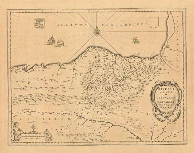
"Biscaia Alava, et Guipuscoa Cantabriae Veteris Partes", Blaeu, Johannes
Subject: Spain and France

Period: 1672 (circa)

Publication: Atlas Major

Color: Black & White

Size:
19.5 x 15 inches
49.5 x 38.1 cm
Download High Resolution Image
(or just click on image to launch the Zoom viewer)

Finely engraved copper plate map that shows the eastern portion of the Bay of Biscay. The map covers the coast from Bayonne to Santander on the Cabo Mayor. It extends south to the Ebro River and includes Logrono and Calahorra. Decorated with three sailing ships in the Atlantic, a fancy compass rose, and coat of arms. Two decorative cartouches, the distance cartouche displaying a wild cat and a putti with dividers.

References: Koeman Bl 60A.

Condition: B

Nice impression on a full sheet with wide, original margins. A little occasional light toning, else very good.

Estimate: $250 - $300

Unsold

Closed on 3/2/2005

Archived