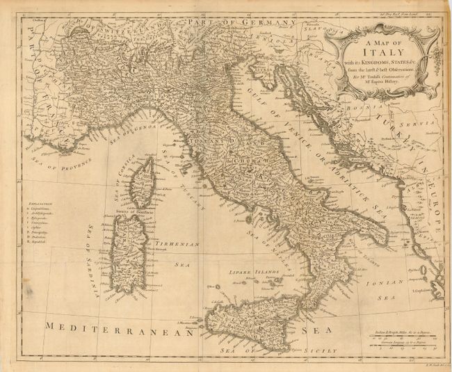
Catalog Archive
Auction 110, Lot 544

"[Lot of 2] A Map of France with the Dominions… [with] A Map of Italy with its Kingdoms, States &c.", Seale, Richard William
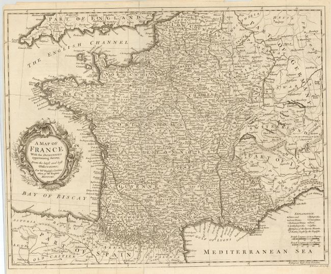
Subject: Europe - Western

Period: 1733 (circa)

Publication: Tindal's Continuation of Mr. Rapin's History

Color: Black & White

Size:
18.2 x 15 inches
46.2 x 38.1 cm
Download High Resolution Image
(or just click on image to launch the Zoom viewer)

Nice pair of copper engraved charts with good detail and numerous place names. The former is fully engraved and filled with hundreds of place names. Legend gives cities and great towns, Parliament towns, forts, castles, battles fought with the English, passes in the Pyrenees mountains, etc. The latter is a nice map of all of Italy that includes some of the Balkans, Corsica, Sardinia, Sicily, and part of Switzerland. Legend identifies capital cities, universities, castles, principality, dukedoms, etc. Both are sized approximately as given above.

References:

Condition: B

The former is clean, folding as issued, with close margins at left, as issued. Closed marginal fold split just to neatline and a chip out of margin. The latter is the same with a little soiling in ocean and over all light toning.

Estimate: $150 - $200

Sold for: $100

Closed on 3/2/2005

Archived