Catalog Archive
Auction 110, Lot 500

"Comitatus Posoniensis Germanis Presburg dicti Delineatio Geographica…", Homann Heirs
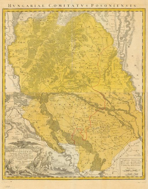
Subject: Slovakia

Period: 1757 (dated)

Publication:

Color: Hand Color

Size:
21.7 x 26 inches
55.1 x 66 cm
Download High Resolution Image
(or just click on image to launch the Zoom viewer)

Large map of western Slovakia in the vicinity of Bratislava. The map provides excellent detail of the topography and includes all the roads, fortified towns, castles, and university towns. The large title cartouche is surrounded by allegorical figures. On two sheets, joined as issued.

References:

Condition: B

Issued folded, now pressed. Unobtrusive repaired tear extending through lower left quarter. Archival tape repair at fold intersection.

Estimate: $250 - $325

Sold for: $190

Closed on 3/2/2005

Archived