Catalog Archive
Auction 110, Lot 424

"Galliae Amplissimi Regni Tabula", Jode, Cornelis de
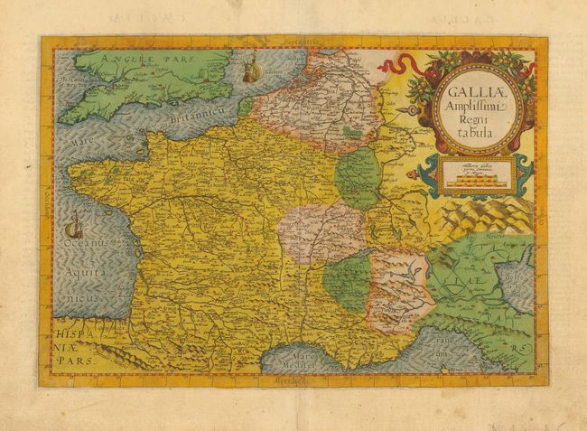
Subject: France

Period: 1593 (published)

Publication: Speculum Orbis Terrae

Color: Hand Color

Size:
17.5 x 11.8 inches
44.5 x 30 cm
Download High Resolution Image
(or just click on image to launch the Zoom viewer)

This rare map of France appeared only in the second edition of the Speculum Orbis Terrae. The map focuses on France but covers a wider region including southern England, Holland as far north as Amsterdam, Switzerland and northern Italy. The large strapwork title cartouche is adorned with fruit and ribbons, and two sailing ships decorate the oceans.

Cornelis de Jode (1568-1600) was the son of the mapmaker and publisher Gerard de Jode. The elder published several important maps including Ortelius' famous 8-sheet map of the world in 1564. His major atlas, Speculum Orbis Terrarum was a commercial failure because his rival, Abraham Ortelius, was able to obtain a monopoly for eight years at the same time De Jode was preparing the publication. After Gerard's death, his widow and son enlarged the atlas and re-issue it in 1593. On the death of Cornelis, the copper plates were sold to J. B. Vrients, who acquired them merely to stop their re-issue, as he had also acquired the Ortelius plates. De Jode maps are rarely offered on the market.

References:

Condition: A

Lovely old color. Some minor stains and an old paper repair in blank margins.

Estimate: $1,000 - $1,100

Sold for: $1,400

Closed on 3/2/2005

Archived