Catalog Archive
Auction 110, Lot 27

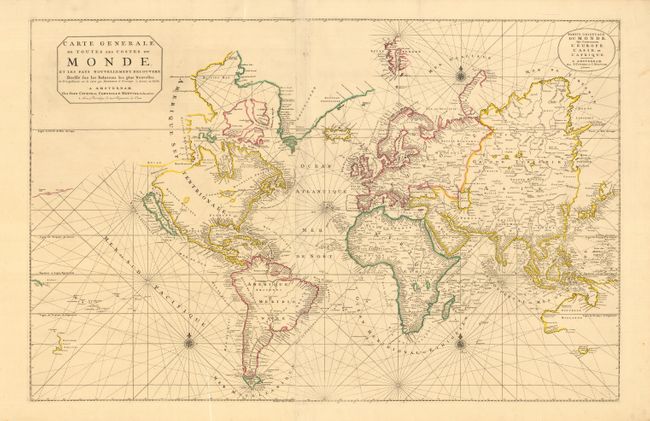
"Carte Generale de Toutes les Costes du Monde et les Pays Nouvellement Decouvert…", Covens & Mortier

Subject: World

Period: 1730 (circa)

Publication:

Color: Hand Color

Size:
35.5 x 23 inches
90.2 x 58.4 cm
Download High Resolution Image
(or just click on image to launch the Zoom viewer)

Fine example of this large world map on Mercator's projection. It is based on Pierre Mortier's slightly smaller map that was published in Mortier's counterfeit version of Le Neptune Francois in 1693. This map, engraved by Baltasar Ruyter, has been updated with additional information in Hudson Bay and Northeast Asia. The known coastlines are accurate for the period but many interior details from recent discoveries have been omitted. The Great Lakes are depicted as a large Mer Douce with two smaller unnamed lakes. California is shown as an island on the Sanson model. Hudson Bay includes three large islands and a distinctive Northwest Passage; Mer Glaciale extending through to the Detroit d' Anian, just to the north of California. The northeastern coast of Asia has far more detail than the earlier version with Witsen's Cap le Glaces. Australia is charted according to the discoveries of Tasman's voyages and many of the earlier Dutch discoveries. Two sheets joined, as issued.

References: cf. Shirley #559.

Condition: A+

Original outline color. Small chip and a couple tiny tears at edges. Overall very fine condition for such a large map.

Estimate: $5,000 - $6,000

Sold for: $3,750

Closed on 3/2/2005

Archived