Catalog Archive
Auction 110, Lot 273
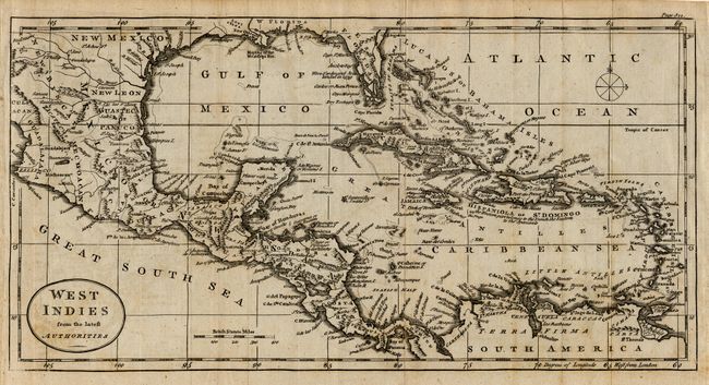
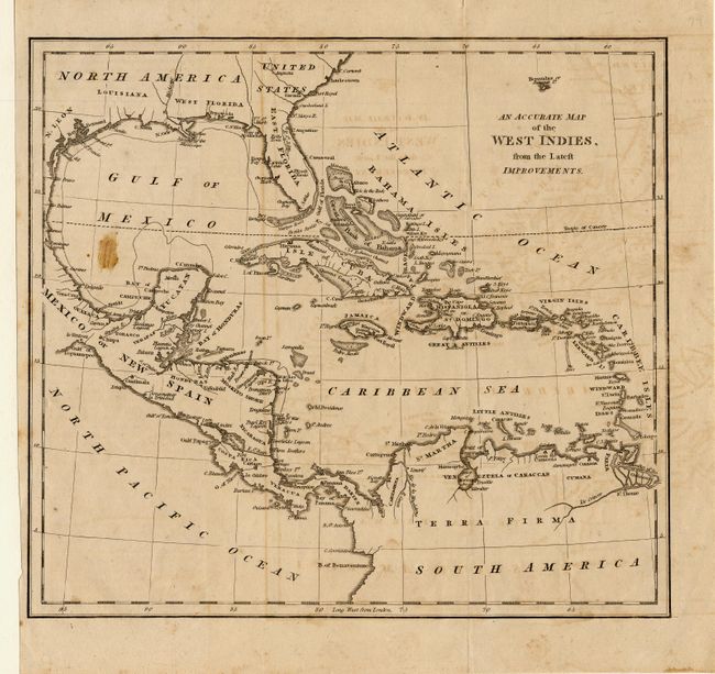
"[Lot of 2] West Indies from the latest Authorities [and] An Accurate Map of the Wet Indies from the Latest Improvements",
1 of 2
Subject: Caribbean
Period: 1770-1790 (circa)
Publication:
Color: Black & White
Size:
9.5 x 8.8 inches
24.1 x 22.4 cm
Download High Resolution Image
(or just click on image to launch the Zoom viewer)
(or just click on image to launch the Zoom viewer)