Catalog Archive
Auction 110, Lot 270

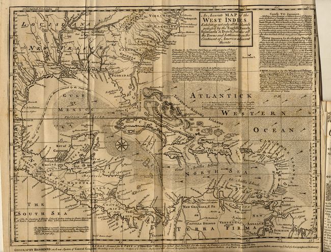
"An Accurate Map of the West Indies, Exhibiting not only all the Islands possess'd by the English, French, Spaniards & Dutch, but also all the Towns and Settlements on the Continent of America adjacent thereto", Bowen, Emanuel

Subject: Gulf of Mexico and Caribbean

Period: 1740 (published)

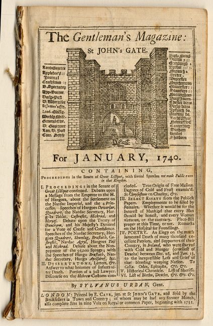
Publication: Gentleman's Magazine

Color: Black & White

Size:
15 x 11.5 inches
38.1 x 29.2 cm
Download High Resolution Image
(or just click on image to launch the Zoom viewer)

A handsome and fully engraved map covering the Southern U.S., Central America, the West Indies and northern South America. Presents a fascinating configuration of Florida. The chart is covered with interesting notations concerning the history of the region, territorial claims and the Spanish gold fleet. Extensive trade-wind arrows and a compass rose fill the seas. A long notation gives sailing directions from Europe, Africa or Florida to Jamaica, and from Jamaica to the Windward Passage. The map is still bound in the original and complete Gentleman's Magazine, January 1740.

References: Jolly GENT-6; Sellers & Van Ee #1681.

Condition: B

On thick hand-laid paper, folding as issued. A few barely visible foxing spots, else very good.

Estimate: $300 - $350

Sold for: $200

Closed on 3/2/2005

Archived