Catalog Archive
Auction 110, Lot 259
"The Coast of Yucatan from Campeche to Bahia del Ascension; with the West End of Cuba", Jefferys, Thomas
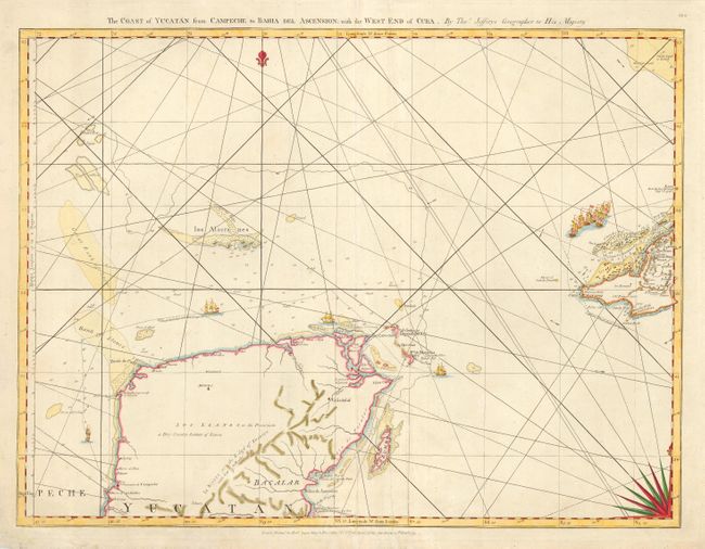
Subject: Mexico and Cuba
Period: 1775 (dated)
Publication: West-India Atlas
Color: Hand Color
Size:
24.6 x 18.5 inches
62.5 x 47 cm
Download High Resolution Image
(or just click on image to launch the Zoom viewer)
(or just click on image to launch the Zoom viewer)