Catalog Archive
Auction 110, Lot 235

"Vermont", Sotzmann, Daniel Friedrich
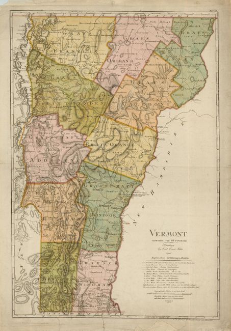
Subject: Vermont

Period: 1796 (dated)

Publication: Atlas von Nordamerika

Color: Hand Color

Size:
18.2 x 27 inches
46.2 x 68.6 cm
Download High Resolution Image
(or just click on image to launch the Zoom viewer)

This rare map of Vermont was based on the cartography of James Whitelaw and William Blodget. It was one of the ten maps completed by Sotzman for Christoph Ebeling's planned atlas of the United States, which was published by Carl Ernst Bohn. These were among the best available maps at the time in terms of scale and level of detail. It provides incredible detail including the location of mills, churches, taverns, forts and even the names of individual land owners. Ristow notes that these maps "are among the rarest of cartographic Americana for the closing decade of the eighteenth century."

References: Phillips (M) p. 247; Ristow 169-178.

Condition: B

Professional repairs on three short tears into map at bottom with some paper replaced in blank margins.

Estimate: $3,250 - $4,000

Sold for: $5,000

Closed on 3/2/2005

Archived