Catalog Archive
Auction 110, Lot 226
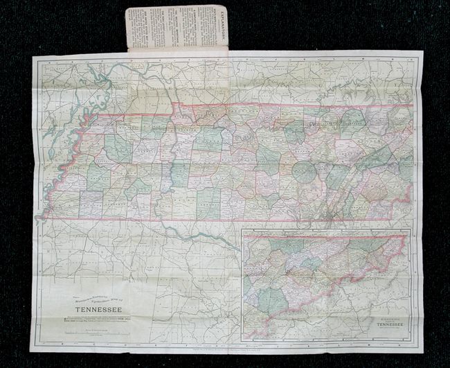
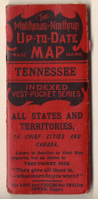
"The Matthews-Northrup Up to Date Map of Tennessee", Matthews-Northrup Co
1 of 2
Subject: Tennessee
Period: 1896 (published)
Publication:
Color: Printed Color
Size:
20 x 15.2 inches
50.8 x 38.6 cm
Download High Resolution Image
(or just click on image to launch the Zoom viewer)
(or just click on image to launch the Zoom viewer)