Catalog Archive
Auction 110, Lot 224
"Railroad map of South Dakota. Prepared under the direction of, and presented by, the Board of Railroad Commissioners", Rand McNally & Co.
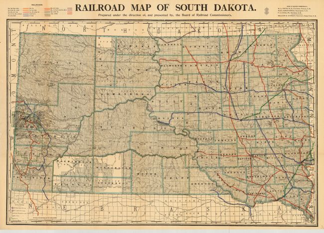
Subject: South Dakota
Period: 1902 (published)
Publication:
Color: Printed Color
Size:
32.7 x 21.7 inches
83.1 x 55.1 cm
Download High Resolution Image
(or just click on image to launch the Zoom viewer)
(or just click on image to launch the Zoom viewer)