Catalog Archive
Auction 110, Lot 196

"The State of New Hampshire Compiled chiefly from Actual Surveys", Lewis/Carey

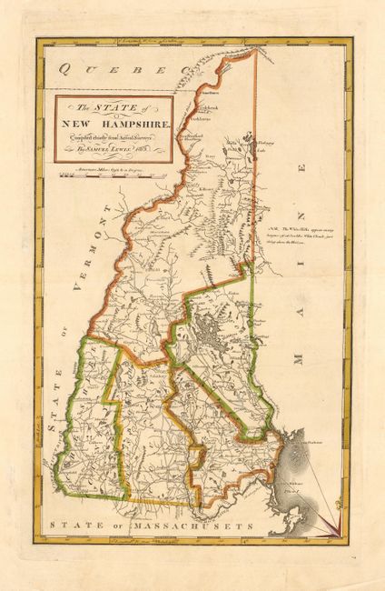
Subject: New Hampshire

Period: 1813 (dated)

Publication: Carey's General Atlas

Color: Hand Color

Size:
10.7 x 17.2 inches
27.2 x 43.7 cm
Download High Resolution Image
(or just click on image to launch the Zoom viewer)

A beautiful map of the state with five counties and great detail of the roads, settlements, mills and taverns. A note on the map states "The White Hills appear many leagues off at sea like white clouds just rising above the horizon." Two of the most influential names in American cartography were Samuel Lewis and Mathew Carey. Samuel Lewis was a celebrated draftsman and cartographer who learned his trade from the prominent English cartographer Aaron Arrowsmith. Carey was the first major American publisher of maps and atlases, and published the first American atlas in 1795. This map is from the important 1814 edition of the atlas.

References: Phillips (A) #1372-7.

Condition: A

Printer's crease in map. Repaired fold separations in blank margins.

Estimate: $375 - $450

Sold for: $275

Closed on 3/2/2005

Archived