Catalog Archive
Auction 110, Lot 102
"Nieuwe Kaart van Kanada, de Landen aan de Hudsons-Baay en de Noordwestelyke deelen van Noord-Amerika", Tirion, Isaac
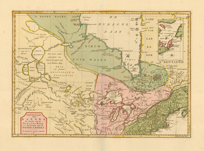
Subject: Colonial Great Lakes and Canada
Period: 1769 (dated)
Publication: Nieuwe en Beknopte Hand Atlas
Color: Hand Color
Size:
17 x 12 inches
43.2 x 30.5 cm
Download High Resolution Image
(or just click on image to launch the Zoom viewer)
(or just click on image to launch the Zoom viewer)