Catalog Archive
Auction 109, Lot 93

"Carte des Parties Nord et Ouest de l'Amerique…", Robert de Vaugondy, Gilles

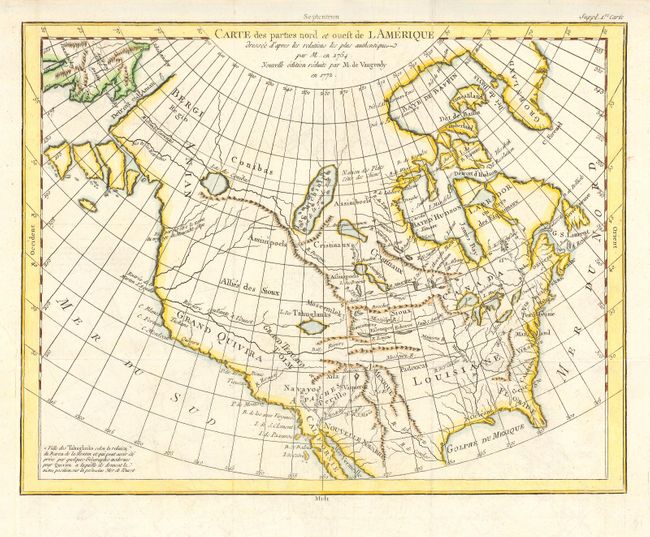
Subject: North America

Period: 1772 (dated)

Publication:

Color: Hand Color

Size:
15 x 11.5 inches
38.1 x 29.2 cm
Download High Resolution Image
(or just click on image to launch the Zoom viewer)

Robert De Vaugondy's rendition of Samuel Engel's map of 1764 with the Asian and American coasts slightly altered. The myth of a Northwest Passage continues to persist, here linking the Detroit d Anian with Lac Michinipi by a system of rivers and a large Lac des Conibas. There is also a River of the West that connects to another large lake, L. des Tahuglanuks that is located near a remnant of Lanhotan's R. Longue. Alaska is shown as a series of large islands. California is labeled Grand Quivira.

References: Pedley #453; Portinaro & Knirsch #155

Condition: A

Very faint offsetting, else fine. Binding trim replaced to better accommodate framing.

Estimate: $300 - $350

Sold for: $180

Closed on 12/1/2004

Archived