Catalog Archive
Auction 109, Lot 792

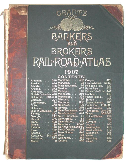
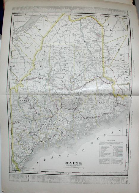
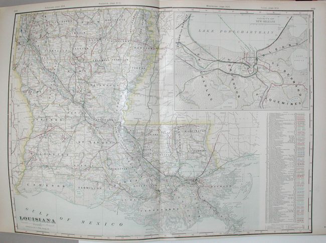
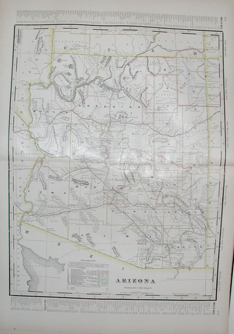
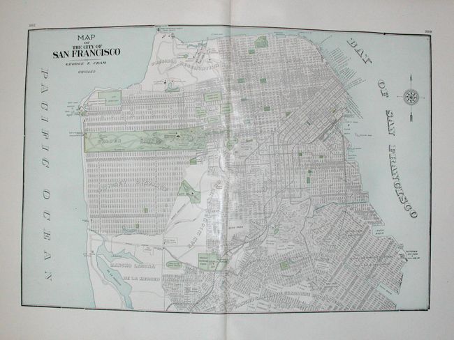
"Grant's Bankers & Brokers Railway System Atlas", Cram, George F. & Company

Subject: Atlases

Period: 1907 (published)

Publication:

Color: Printed Color

Size:
15 x 18.5 inches
38.1 x 47 cm
Download High Resolution Image
(or just click on image to launch the Zoom viewer)

An informative and interesting atlas prepared for use by banks, brokers and railroad officials. Complete with 186 maps, 75 of which are of the United States including some great city plans. The maps are filled with superb detail focusing on the railroads with each separate line named and color-coded. Most maps are double-page, but there are a few single-page maps printed on verso. The extensive index lists counties, county seats, cities, post offices, railroad stations, town and gives the nearest post office and railroad stations for those towns that have neither, lists the number of banks in each town, telegraph stations, and steamboat lines and landings. Includes some maps not usually seen in atlases of this period such as individual maps of the states in Australia. 628 pp. + 32 (unnumbered) pages at back with a Special List of Attorneys in Every Banking Town in the United States and Canada Elephant folio, hardbound, quarter calf with gold embossed front cover.

References:

Condition: C

Covers detached with spine missing. Maps very good or fine. A few minor tears at front and back. A fine atlas, well deserving of rebinding.

Estimate: $500 - $700

Sold for: $300

Closed on 12/1/2004

Archived