Catalog Archive
Auction 109, Lot 711

"Carte de la Nle. Zelande visitee en 1769 et 1770. Par le Lieutenant J. Cook Commandant de l'Endeavour Vaisseau de sa Majeste", Cook/Benard

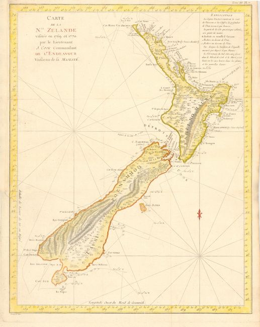
Subject: New Zealand

Period: 1774 (published)

Publication: Cartes et Figures des Voyages…

Color: Hand Color

Size:
14.7 x 18.8 inches
37.3 x 47.8 cm
Download High Resolution Image
(or just click on image to launch the Zoom viewer)

This is one of the most important maps in New Zealand's history and the first complete map of the two island's coastlines. The chart was made during Cook's first voyage and shows the track of the Endeavour with dates and soundings. The interior reflects the mountainous topography. From the French edition published by Hawkesworth and engraved by Benard. Includes the title page to the book.

References:

Condition: A

Issued folding and now nicely pressed. Margin extended at binding trim to better accommodate framing.

Estimate: $1,700 - $1,900

Sold for: $1,600

Closed on 12/1/2004

Archived