Catalog Archive
Auction 109, Lot 708

"South Australia", Philip, George
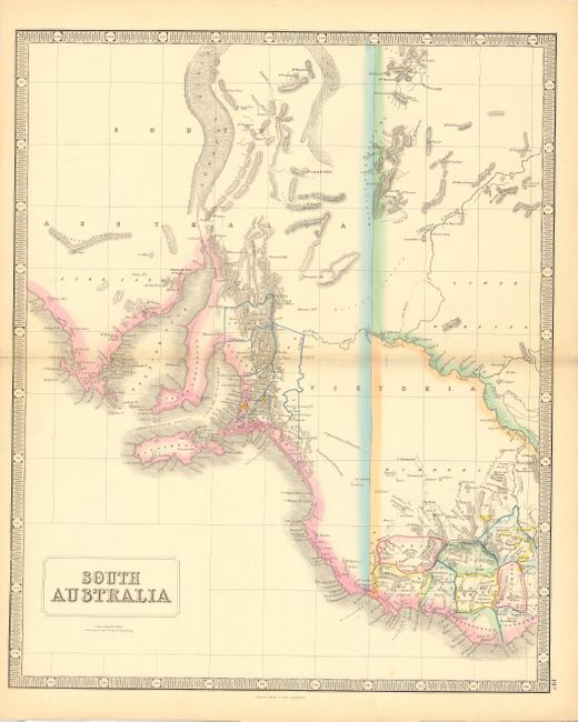
Subject: Australia

Period: 1854 (circa)

Publication: Commerical Altas of the World

Color: Hand Color

Size:
20 x 24 inches
50.8 x 61 cm
Download High Resolution Image
(or just click on image to launch the Zoom viewer)

Despite the title, this super mid-nineteenth century map covers only the eastern part of South Australia, along with parts of Victoria and New South Wales. There is county development in the southern part of Victoria and the vicinity of Adelaide. The map provides good topographical detail, many place names, and both a current and proposed road to Mt. Alexander. Gold mining regions are shown in yellow. Surrounded in a bold keyboard style border.

References:

Condition: A

Clean and bright with attractive original outline color. Couple of small tears at centerfold, professionally repaired.

Estimate: $200 - $250

Unsold

Closed on 12/1/2004

Archived