Catalog Archive
Auction 109, Lot 702
"A Map of the Discoveries made by Capts. Cook & Clerke in the Years 1778 & 1779 between the Eastern Coasts of Asia and the Western Coast of North America, when they attempted to Navigate the North Sea…", Carey, Mathew
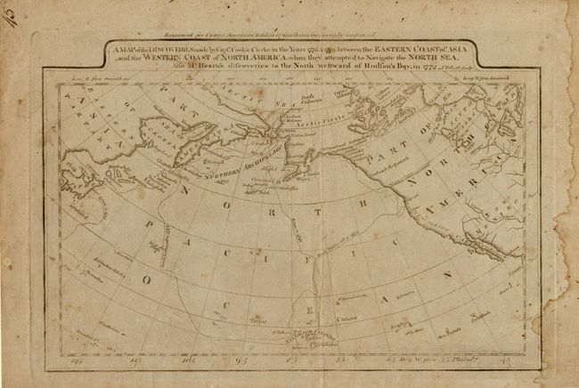
Subject: North Pacific Ocean
Period: 1795 (circa)
Publication: Guthrie's Geography
Color: Black & White
Size:
11 x 7.5 inches
27.9 x 19.1 cm
Download High Resolution Image
(or just click on image to launch the Zoom viewer)
(or just click on image to launch the Zoom viewer)