Catalog Archive
Auction 109, Lot 694

"Carte de la Cote S.O. d'Afrique Comprise entre St. Paul de Loanda et le Cap de Bonne Esperance", Robiquet, Aime

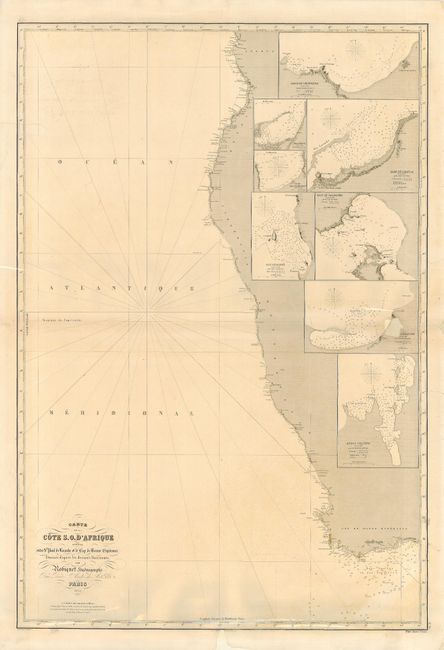
Subject: Africa - Southern

Period: 1854 (dated)

Publication: Atlas Hydrographique

Color: Black & White

Size:
26.5 x 39 inches
67.3 x 99.1 cm
Download High Resolution Image
(or just click on image to launch the Zoom viewer)

Fine detailed sea chart of the southwest coast of Africa with insets of Benguela Bay, Lobito, Elephant Bay, Luanda Bay, Ichaboe Island, Saldanha, Alexander Bay, and Angra Pequena.

References:

Condition: C

Generally clean and attractive. Tissue repairs of a few tears and two paper replacements; one of a hole 1.4" in size affecting the inset of Alexander Bay, and the other in the bottom margin just entering the neatline.

Estimate: $140 - $170

Sold for: $70

Closed on 12/1/2004

Archived