Catalog Archive
Auction 109, Lot 669

"Kaart van Afrika", Tirion, Isaac
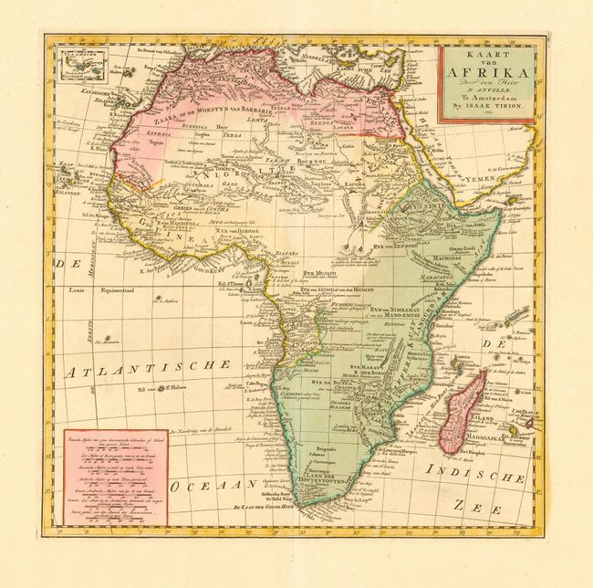
Subject: Africa

Period: 1769 (published)

Publication: Nieuwe en Beknopte Hand Atlas

Color: Hand Color

Size:
13.7 x 13.7 inches
34.8 x 34.8 cm
Download High Resolution Image
(or just click on image to launch the Zoom viewer)

Attractive map of the continent with a small inset of Cape Verde Islands at top left. The map is based on D'Anville and includes a remarkable amount of detail including some gold and silver mines. Stellenbosch, Drakenstein and Waveren are located, as well as the rivers Berg, Olyphantin, Breede and Zonde End. Zimbabwe is labeled and a Groote Waterval (Great Waterfall) is shown in the vicinity of Victoria Falls. The source of the Nile is shown both according to Paez and in two small lakes north of the Equator.

References: Norwich #96.

Condition: A+

Wide original margins and lovely color.

Estimate: $350 - $425

Sold for: $250

Closed on 12/1/2004

Archived