Catalog Archive
Auction 109, Lot 623

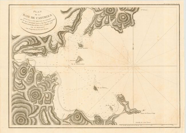
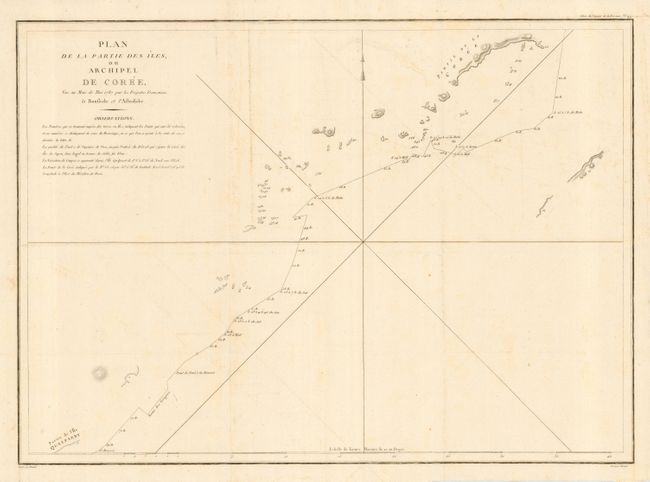
"[Lot of 2] Plan de la Baie de Castries Situee sure la Cote Orientale de Tartarie… [with] Plan de la Partie des Iles, ou Archipel de Cor.", La Perouse, Comte Jean F. Galoup, de

Subject: East Asia

Period: 1797 (published)

Publication: Voyage autour du Monde…Atlas

Color: Black & White

Size:
27.2 x 19.5 inches
69.1 x 49.5 cm
Download High Resolution Image
(or just click on image to launch the Zoom viewer)

Detailed, large-scale maps of the region visited by La Perouse in July 1787. La Perouse explored from the coasts along the Gulf of Alaska and northwestern North America, through parts of Asia and Oceania. He was meticulous in sending copies of his extensive logs, maps and surveying information via other ships as well as overland. The last time the expedition was seen was in the spring of 1788 in Botany Bay, Australia. The expedition was never heard from again.

References:

Condition: B

Some faint offsetting.

Estimate: $180 - $220

Unsold

Closed on 12/1/2004

Archived