Catalog Archive
Auction 109, Lot 522

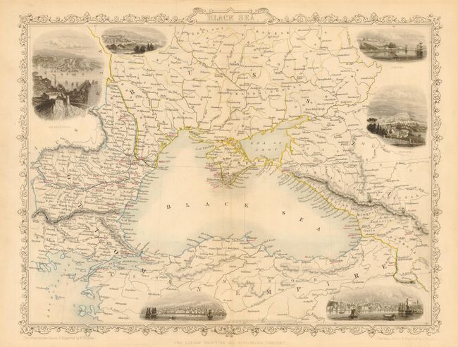
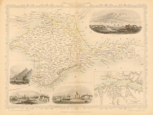
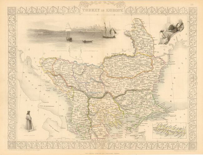
"[Lot of 3] Black Sea [with] The Crimea [and] Turkey in Europe", Tallis, John

Subject: Black Sea & Balkans

Period: 1850 (circa)

Publication:

Color: Hand Color

Size:
13 x 10.5 inches
33 x 26.7 cm
Download High Resolution Image
(or just click on image to launch the Zoom viewer)

Three lovely steel engraved maps with great detail. All with original outline coloring on map with vignettes and borders uncolored, as issued. All maps drawn and engraved by John Rapkin. The well rendered and beautifully engraved vignettes are by H. Winkles, J. Rogers or H. Warren. The map of the Black Sea features fancy borders and six lovely (uncolored) vignettes, including Constantinople, Odessa, Sebastopol, Varna, Sinope and Silistria. The new electric telegram line from Varna to Sebastopol is shown in red. The map of the Crimea covers the entire peninsula, outlined in yellow with the new telegraph line noted in red. It includes a large inset of "Sebastopol before its investment by the Allies", and four vignettes: Sebastopol, Eupatoria, Bank of the Alma, and Balaklava Harbour. Surrounded in a delicately engraved border. The map of Turkey is quite handsome with great detail throughout. Small inset of Candia. Fine vignettes include a large view of Constantinople with sailing boats in foreground, and two of native people. Decorative border. A fine lot of three engraved maps with original color.

References:

Condition: B

Hint of toning along centerfolds, else very good.

Estimate: $180 - $220

Sold for: $120

Closed on 12/1/2004

Archived