Catalog Archive
Auction 109, Lot 468

"Nobilis Saxoniae Fl. Visvrgis cum Terris adjacentib. ab Inclyfa Brema. ad Ostium Maris", Merian, Matthaus
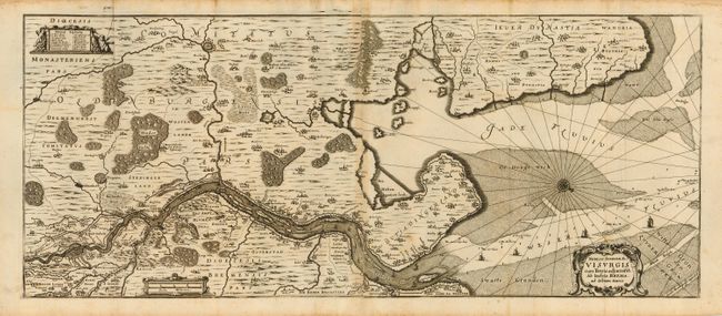
Subject: Germany

Period: 1653 (circa)

Publication: Topographia Saxoniae inferioris

Color: Black & White

Size:
27.7 x 11.5 inches
70.4 x 29.2 cm
Download High Resolution Image
(or just click on image to launch the Zoom viewer)

Very detailed map of the region around Bremen that shows the course of the Weser River to the mouth of the North Sea. Locates the walled city of Brema plus numerous villages and churches. Shows Oldenburg and the dynasty of Jever. The map is embellished with sailing ships in the bay and river, rhumb lines and a fine compass rose. Further decorated with three cartouches: title, dedication and distance scale. An early and beautifully engraved copper plate map that is rarely on the market.

References:

Condition: B

Fine, thick paper with strong impression. Some light scattered foxing. On two sheets joined, folding, as issued.

Estimate: $250 - $300

Unsold

Closed on 12/1/2004

Archived