Catalog Archive
Auction 109, Lot 422
"Mittel-Ostliches Deutschland, enthalt Preuss Prov. Schlesien, dann die Oesterreich. Kronlander Kgr. Bohmen, Markgrafschaft Mahren, Herzogth. Obert-u Nieder-Schlesien", Stieler, Adolph
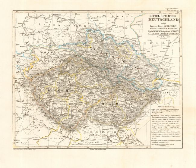
Subject: Central Europe
Period: 1853 (dated)
Publication: Stieler's Hand Atlas
Color: Hand Color
Size:
13.7 x 11 inches
34.8 x 27.9 cm
Download High Resolution Image
(or just click on image to launch the Zoom viewer)
(or just click on image to launch the Zoom viewer)