Catalog Archive
Auction 109, Lot 418

"Nova et denuo correcta Germaniae Tabula…", Allard, Carel

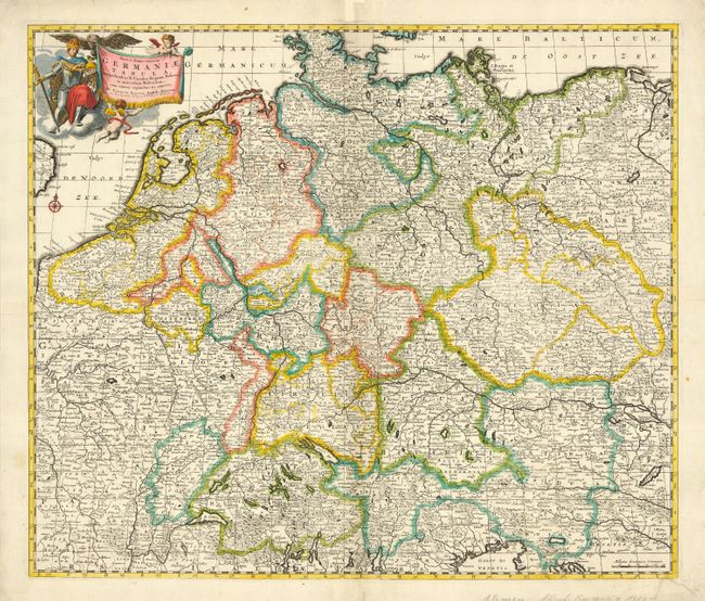
Subject: Europe - Central

Period: 1660 (circa)

Publication:

Color: Hand Color

Size:
22.5 x 19 inches
57.2 x 48.3 cm
Download High Resolution Image
(or just click on image to launch the Zoom viewer)

A very detailed map of central Europe, extending from Belgium and The Netherlands through Pomerania in the north, and from Switzerland to Hungary in the south. The map is embellished with a title cartouche featuring a knight, an eagle and putti.

References:

Condition: B

Couple of tissue repairs on centerfold and some paper replaced in margins, not affecting map.

Estimate: $275 - $325

Sold for: $230

Closed on 12/1/2004

Archived