Catalog Archive
Auction 109, Lot 235

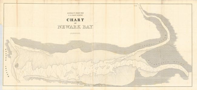
"Extract from the U.S. Coast Survey Chart of Newark Bay", U.S. Coast Survey

Subject: New Jersey

Period: 1839 (published)

Publication:

Color: Black & White

Size:
53.5 x 24 inches
135.9 x 61 cm
Download High Resolution Image
(or just click on image to launch the Zoom viewer)

A large and detailed chart showing part of Staten Island and the Passaic and Hackensack Rivers emptying into the bay. Includes Morris Canal with soundings and marsh lands indicated.

References:

Condition: B

The map itself is quite nice, with just a hint of a few foxing areas. Several short fold separations and intersection splits due to the thick paper and multiple folds. Map is printed on two sheets, joined as issued. Short tear at binding trim.

Estimate: $80 - $100

Sold for: $60

Closed on 12/1/2004

Archived