Catalog Archive
Auction 109, Lot 222

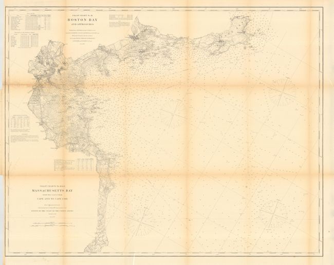
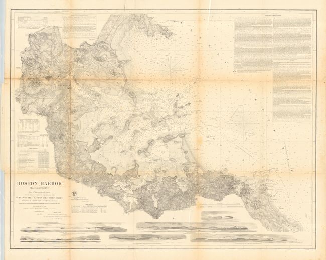
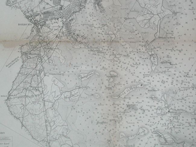
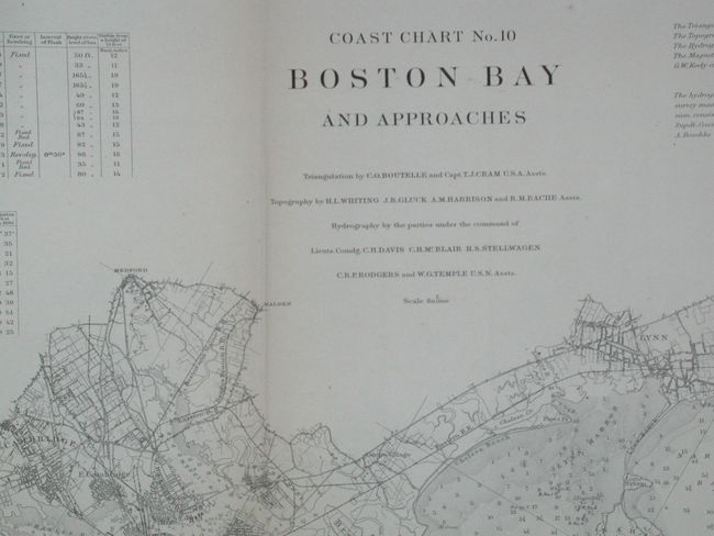
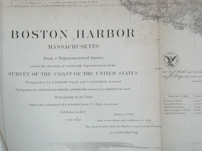
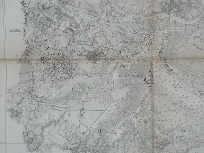
"[Lot of 2] Boston Harbor Massachusetts [with] Coast Chart No. 10 Boston Bay with Approaches", U.S. Coast Survey

Subject: Massachusetts - Boston

Period: 1857-1866 (dated)

Publication:

Color: Black & White

Size:
See Description
Download High Resolution Image
(or just click on image to launch the Zoom viewer)

First is from a Trigonometrical Survey under the direction of A.D. Bache, Superintendent of the Survey of the Coast of the United States. It is a handsome chart of the historic harbor that shows great detail of coastal areas as well as the harbor. At the bottom are six profile views of salient aspects of the harbor approaches. Street grids for Boston and nearby cities are noted. Common roads, topography, hydrology, etc. are nicely developed. Sailing directions offer detailed advice to visiting mariners. A very handsome, large (36 x 28.5") and historical chart. Second covers a larger coastal area that extends from below Scituate north to Boston and out to Cape Ann. Filled with information, navigational notations, soundings, etc. Size is 39 x 31".

References:

Condition: B

Issued folding, now archival tissue backed. Both with varying toning along folds.

Estimate: $400 - $500

Sold for: $220

Closed on 12/1/2004

Archived