Catalog Archive
Auction 109, Lot 184

"Kaart van Cook's River in het N.O. gedeelt van Amerika", Cook, James (Capt.)
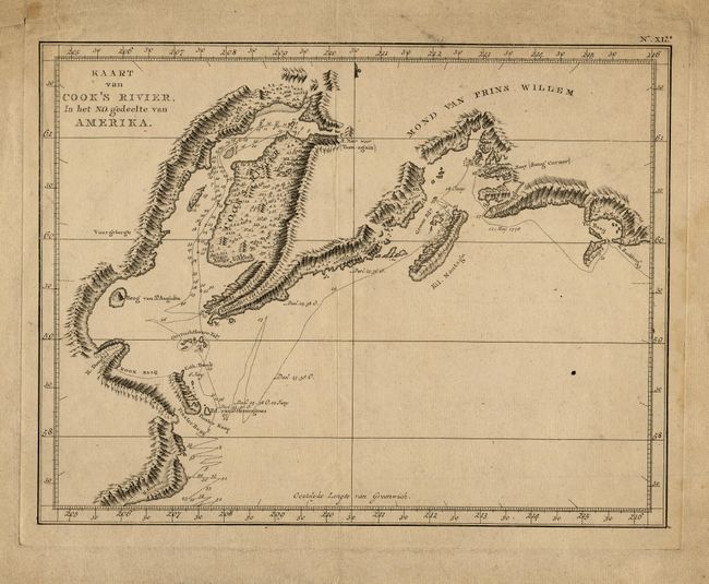
Subject: Alaska

Period: 1795 (circa)

Publication:

Color: Black & White

Size:
12 x 9 inches
30.5 x 22.9 cm
Download High Resolution Image
(or just click on image to launch the Zoom viewer)

A fine copper engraved map that shows the extent of exploration undertaken by Capt. Cook with the unexplored areas left blank. The map shows Cook Inlet, the Kenia Peninsula and part of Prince William Sound. Extends to show the location of today's Anchorage and all of Turn-Again arm. Published in a Dutch edition of Cook's Voyages.

References:

Condition: B

Good impression on thick hand laid paper with full margins. Evenly age toned, with some foxing or water staining at right margin. Map image near very good except for a few spots.

Estimate: $80 - $100

Sold for: $40

Closed on 12/1/2004

Archived