Catalog Archive
Auction 109, Lot 156

"County and Township Map of the States of Massachusetts Connecticut and Rhode Island", Mitchell, Samuel Augustus

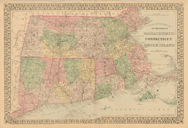
Subject: Northeastern United States

Period: 1880 (circa)

Publication:

Color: Hand Color

Size:
21.5 x 14.5 inches
54.6 x 36.8 cm
Download High Resolution Image
(or just click on image to launch the Zoom viewer)

A lovely map in Mitchell's style that gives an excellent view of the extent of settlement at the time. Filled with hundred of towns and villages, roads and railroads, and numerous rivers. Extends to include Dukes and Nantucket islands, and all of Barnstable to Cape Code. Decorative floral borders and Victorian style titling.

References:

Condition: A

A sharp impression with original pastel coloring.

Estimate: $80 - $100

Sold for: $75

Closed on 12/1/2004

Archived