Catalog Archive
Auction 109, Lot 129

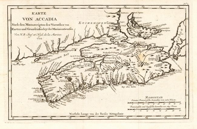
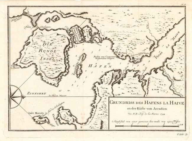
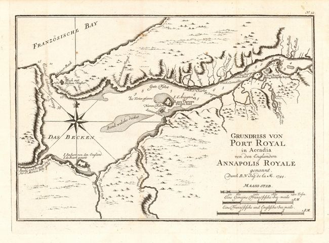
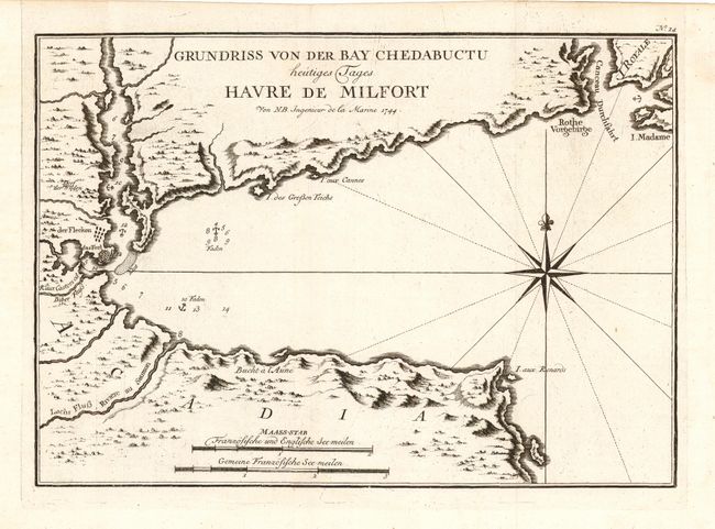
"[Lot of 4 - Nova Scotia]", Bellin, Jacques Nicolas

Subject: Canada - Maritime Provinces

Period: 1744 (dated)

Publication: Allegmeine Historie der Reisen zu Wasser und zu Lande

Color: Black & White

Size:
12.5 x 8 inches
31.8 x 20.3 cm
Download High Resolution Image
(or just click on image to launch the Zoom viewer)

Four fine copper engraved charts focusing on Nova Scotia - here called Accadia. All dated 1744, but published in 1756 in the German edition by Arkstee & Merkus. A remarkable collection of maps detailing the areas of conflict during the 1744-1758 war between the French and British.

1) "Karte von Accadia Nach den Manuscripten des Vorrathes von Karten und Grundrissen bey der Marine entworsen", 12.5" x 8.0". Beautifully engraved chart that includes Nova Scotia, Prince Edward Island (Insel Saint Jean), and parts of New Brunswick and Cape Breton Island. After Bellin's more common "Carte de l'Acadie et Paus Voisins". Interior details include topography and watershed. Much detail along coastlines with scores of place names. Two distance scales.

2) "Grundriss des Hafens la Haive an der Kuste von Accadien", 11" x 7.8". Covers the region from Nova Scotia, Prince Edward Island (Insel Saint Jean) and part of New Brunswick. Interior details include topography and watershed. Much detail along coastlines with scores of place names. Two distance scales.

3) "Grundriss von Port Royal in Accadia von den Engloendern Annapolis Royale", 11" x 7.6". Very lovely and dark impression that details the region around Port Royal including the walled Fort Royal, topographic and watershed, islands and shoals in the vicinity. Three distance scales and large compass rose with fleur-de-lis.

4) "Grundriss von der Bay Chedabuctu heutiges Tages Havre de Milfort", 11" x 8". Shows the harbor and vicinity with good coastal and interior detail. Locates the fort, anchorages and individual buildings outside the fort. Rhumb lines, compass rose with fleur-de-lis and two distance scales.

References: 1) Kershaw 769; 2) Kershaw 771; 3) Kershaw 770; 4) Kershaw 772.

Condition: A

All are crisp, dark impressions on fine hand laid paper. Folding as issued. First map has a faint spot in map, still very good.

Estimate: $300 - $350

Sold for: $170

Closed on 12/1/2004

Archived